Tag Archives: ArcGIS Online
Configuring Triggers and Actions in ArcGIS Experience Builder
ArcGIS Experience Builder allows you to build dynamic and interactive web applications that can meet any need and be tailored to any audience. You may have read my previous blog which walks through some of the key steps to create … Continue reading
Continue Reading
Step from ArcGIS Web AppBuilder to ArcGIS Experience Builder
Now that ArcGIS Web AppBuilder’s retiral has been announced, it is a good time for dedicated Web AppBuilder users to get their heads around ArcGIS Experience Builder. As someone who has made this transition, I understand that the prospect of … Continue reading
GIS for all: making an ArcGIS app for the classroom
After seeing John Nelson’s Storybook design, I really wanted to give it a try. I thought that this design would be great for educational resources, so I got in contact with our Education Team at Esri UK to see what … Continue reading
Continue Reading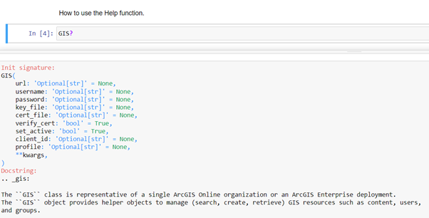
Notes from a Notebooks Beginner
Starting to code can be scary and while there are some learning resources available, they sometimes seem aimed at developers. As a complete beginner, this was a little bit daunting for me. With this blog, I will show you how … Continue reading
Continue Reading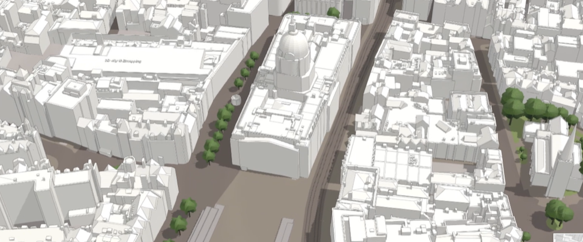
Nottingham City Council
We have created a highly-detailed, city-sized digital twin of Nottingham and are proud to be sharing our experiences with others.
Continue ReadingFiltering arrives to the Connector for OS places API by Esri UK
At the end of March, we released some exciting updates to the Connector for OS Places API by Esri UK. Since launching our connector, the biggest piece of feedback to both ourselves and the Ordnance Survey has been that you … Continue reading
Continue Reading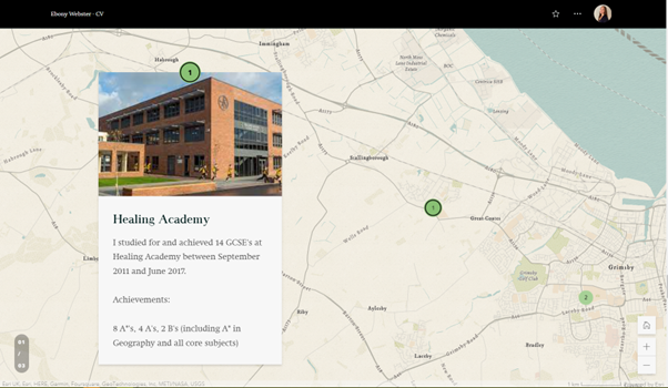
CVs just got a whole lot more interesting with ArcGIS StoryMaps
As employment applications become increasingly digital and technology-focused, jobseekers need to find innovative ways to stand out from the competition. ArcGIS StoryMaps is a web-based platform that allows users to combine maps, multimedia content and storytelling to create engaging stories…or … Continue reading

Ramblers Scotland
ArcGIS Hub Premium is helping us to engage the support of 250 volunteers and share information about Scotland’s 40,000 mile network of walking paths.
Continue Reading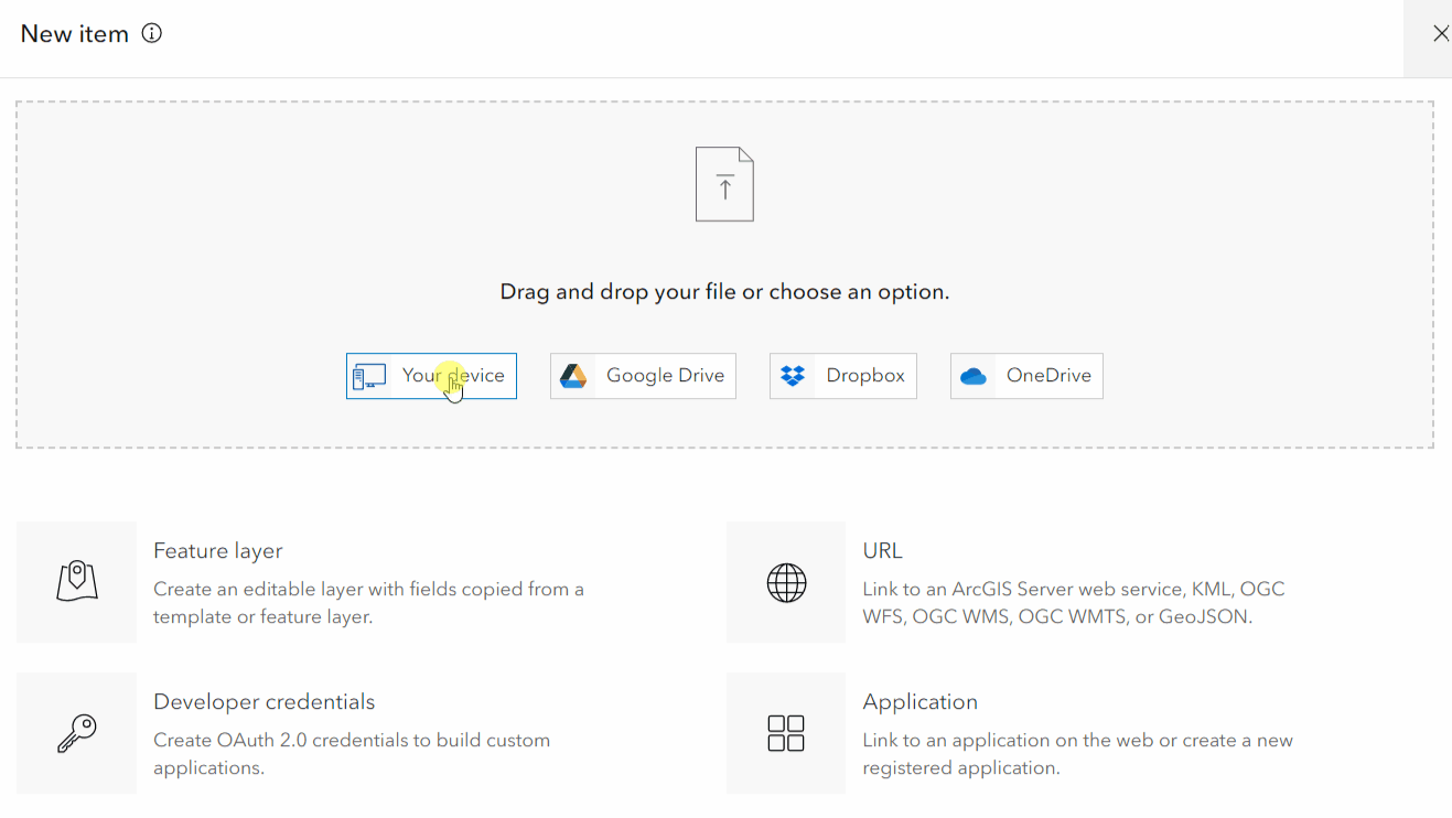
Turn your Excel data into an ArcGIS Online layer
You might ask yourself – but why would I want to do that? The data we use in ArcGIS Online can come from various resources. We might use layers shared by our organisation or from Living Atlas of the World, … Continue reading
Continue Reading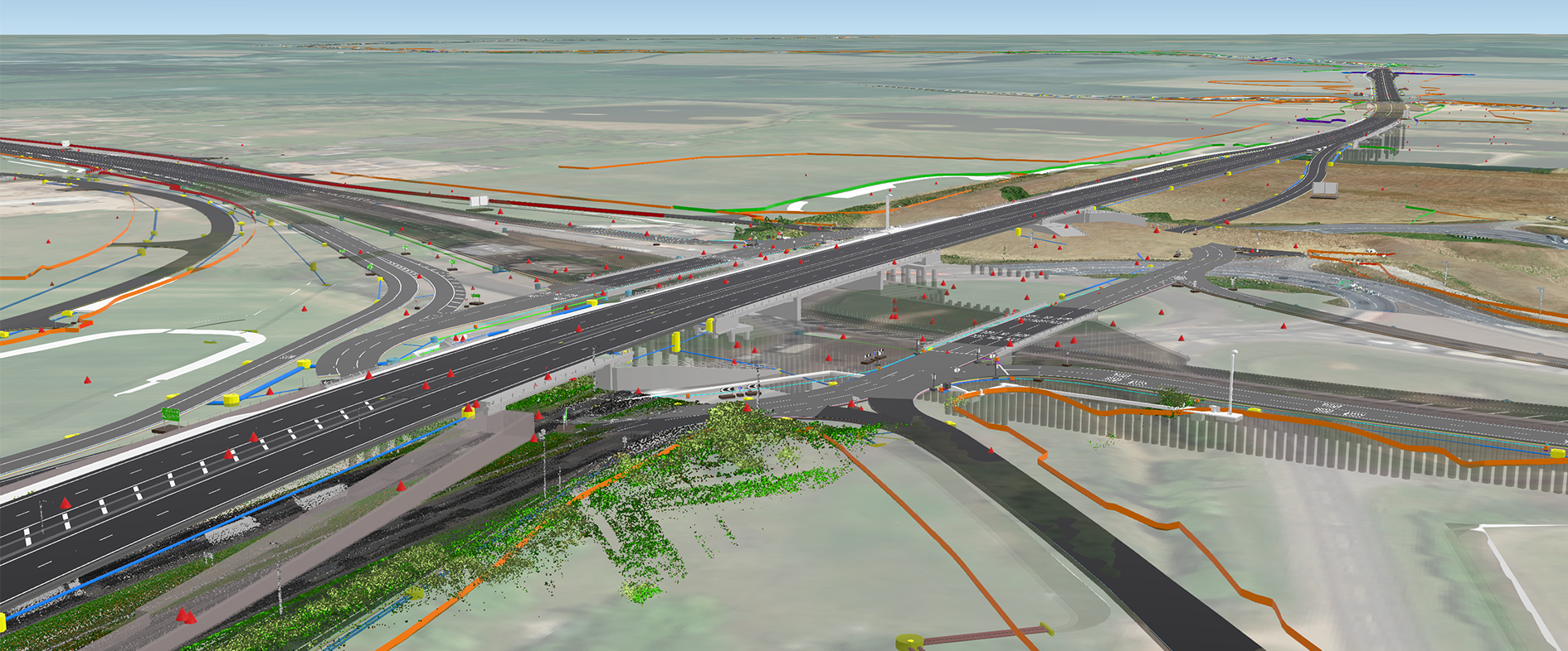
Skanska UK
By integrating GIS and BIM Skanska is transforming the delivery of construction projects delivering unprecedent value internally and externally, for partners, communities and society at large.
Continue Reading