Tag Archives: Living Atlas
Post navigation
Welcoming British Geological Survey Data to the Living Atlas
The ArcGIS Living Atlas of the World is a collection of geographic information from around the world and includes content contributions from some of the UK’s most recognisable organisations. This collection of spatial data sits at the heart of the … Continue reading
Earth Day 2021 – Restore Our Earth
Every year on April 22nd over a billion people across the world come together to observe Earth Day. First established in 1970, Earth Day was created to drive action in combating the ongoing global environmental and climate crisis. The theme … Continue reading
Continue ReadingOS OpenMap – Local Buildings & Function Sites in the Living Atlas
This month, we are excited to bring OS OpenMap – Local Buildings, Important Buildings and Functional Sites to the Living Atlas! Ordnance Survey® describe OS OpenMap – Local as the most detailed ‘street level’ mapping product available within the open … Continue reading
Continue ReadingUK COVID-19 Service in the Living Atlas
Update Since the blog was originally posted the historic data tables have been added to the service. The field details are below The service Esri UK’s “UK COVID-19 Data” is a feature service containing coronavirus (COVID-19) data automatically updated from … Continue reading
Continue ReadingAre you missing the Living Atlas global datasets that cover the UK?
There are a wealth of datasets within the UK in the Living Atlas, prime for use by the GIS community. However, always filtering by the UK we may miss out on curated global datasets. Familiar global datasets include things like … Continue reading
If I can write JavaScript, so can you
I’m not a developer. Until recently, I’d never so much as looked at a line of code, let alone attempted to write some myself. I assumed that without a computer science degree, there was no point even trying. When struggling … Continue reading
Continue ReadingMapping our Protected Planet
From extensive national parks to local nature reserves, areas of protected land are close to many of our hearts. In my own hometown of Whitley Bay is a beautiful but tiny nature reserve called Holywell Dene. A dene, if you’re … Continue reading
Continue Reading
More Mapping Options With GB Vector Basemaps
In April we launched the beta version of our GB Vector Basemaps… …after some great feedback and a lot more work the live versions of these basemaps were released ready for you to use. Along with a few changes to … Continue reading
Continue Reading
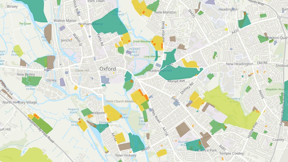
Go Green! – OS Open Greenspace is now in the Living Atlas
Esri UK has been working with the Ordnance Survey to nominate their first dataset into the Living Atlas - OS Open Greespace! Dive into the data and explore a couple of possible use cases…
Continue ReadingMapping leisure choice in 30 minutes with OS Greenspace
To celebrate the arrival of the Ordnance Survey Open Greenspace dataset to the ArcGIS Living Atlas a number of us at Esri UK took part in a 30 Minute Map competition. I decided to map leisure activities and have put together a breakdown of the steps I used.
Continue Reading