Tag Archives: Living Atlas
Localise the Living Atlas live feeds
Live feeds are a great way of showing up to date and dynamic content in your web maps and apps. Many of these datasets have global coverage, but what can you do if you want to focus on a smaller … Continue reading
Continue ReadingUnlocking GeoAI: Smarter Spatial Analysis with ArcGIS
The constant evolution of AI (Artificial Intelligence) encourages many to believe it may accelerate our progress towards a sustainable and resilient future. After delving into the ways AI is supporting geospatial analysis in ArcGIS, I’m inclined to agree. What you … Continue reading
Explore live weather data in the ArcGIS Living Atlas
Have you ever wanted to use weather forecast data to better understand how your assets might be impacted by rain, sleet and snow? This is now possible for all customers with the new Beta release of our UK Precipitation Forecast, … Continue reading
Continue Reading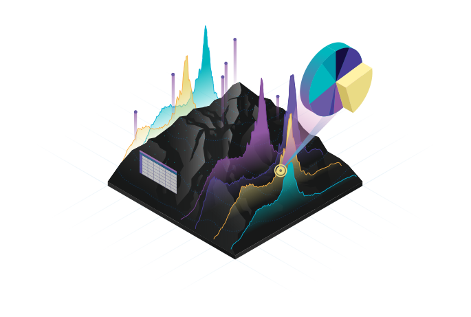
What is GIS? Five key concepts to improve your understanding
When you’re running late for work and trying to find shortcuts along your route, you’re using GIS. When organisations have digitised plans of their estate, also GIS. Biologists tracking animal migrations… You can guess where I’m going with this. So, … Continue reading
Continue Reading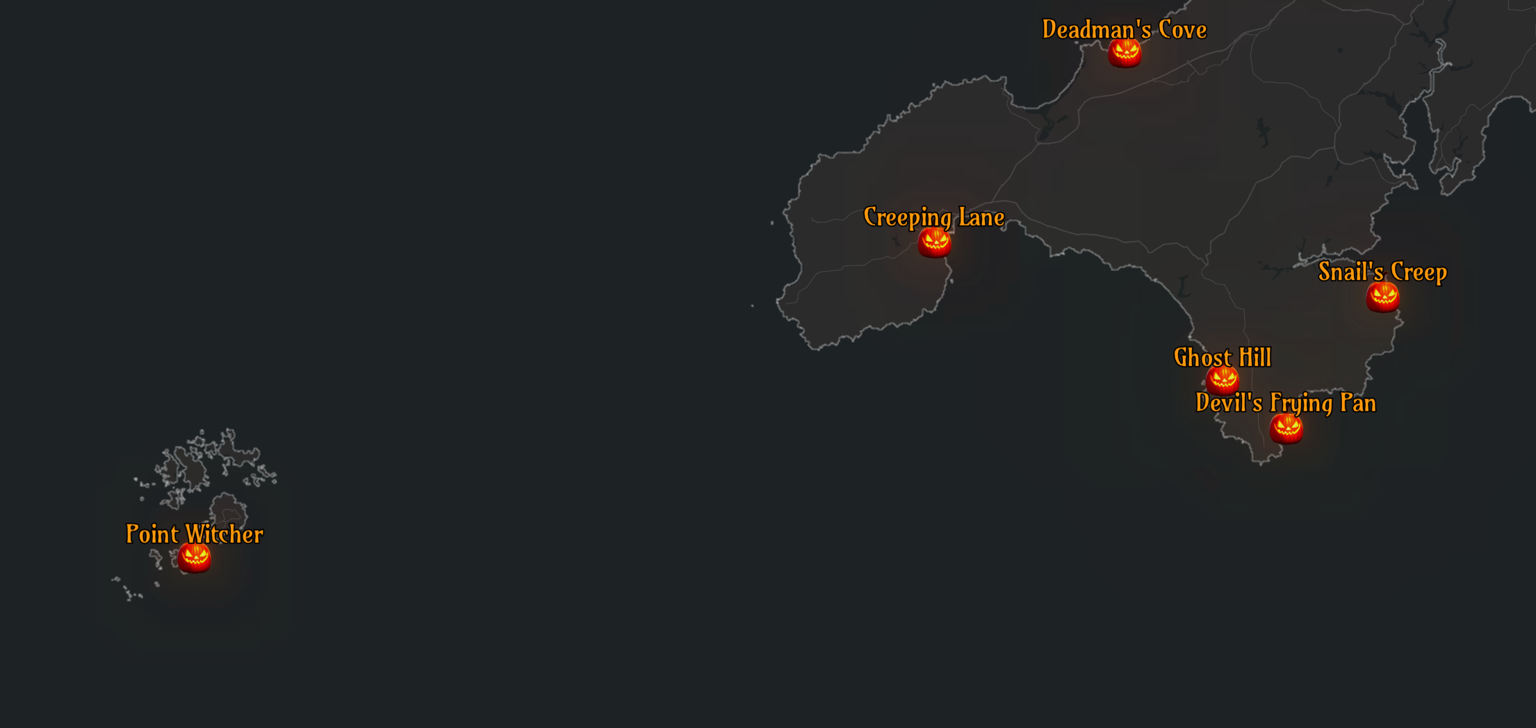
Creating a spooky map with the Living Atlas
Halloween is just around the corner, and what better way to celebrate than with a spooky map? Inspired by the Inferno map by John Nelson, we wanted to produce a scary map that centred on Halloween-related place names. In this … Continue reading
Continue Reading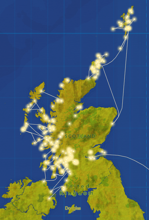
Back to basemaps: create an ArcGIS basemap to support your data
Basemaps are what the name suggests – background vector or raster layer(s) to enhance the data or visual display shown in the foreground, along with providing content and orienting the viewer. Sometimes basemaps are a blank slate, allowing the data … Continue reading
Continue ReadingData that gives back: empowering your charity’s decisions
The landscape of charitable causes is a broad one. Think of the big or small charity organisations that strive to make the world a better place by supporting causes such as: animals, arts and culture, community development, education, environmental, health, … Continue reading
Continue Reading
Thirteen Group
Thirteen Group’s Community Resilience strategy works to understand local communities better, inform decisions and signpost customers to the services available.
Continue ReadingYour Living Atlas winter wrap-up
Over the course of 2022, we have accepted 255 new datasets to the UK Living Atlas and welcomed 8 data contributors to the platform! I’d just like to say thank you to those who have shared their data to help … Continue reading
Continue Reading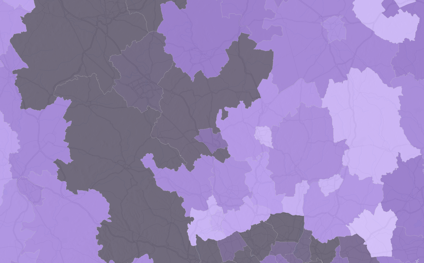
Explore the 2021 Census data with ArcGIS Living Atlas
Back in 2021, many of us in England and Wales may remember filling in the many pages of the census. Since then, much of the data has been processed by the Office for National Statistics and is starting to become … Continue reading
Continue Reading