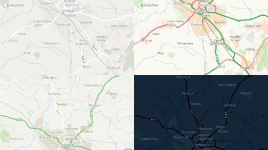
Eleven ways to map a General Election
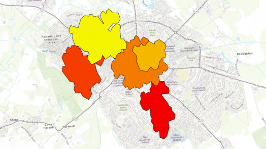
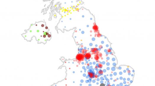
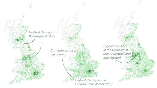
It’s that time again; on 12th December, people across the nation will cast their votes to decide who will be the United Kingdom’s Prime Minister. Elections offer plenty of opportunities when it comes to mapping results, so I’ve been using …...
Read more