Routing vehicles in ArcGIS Pro
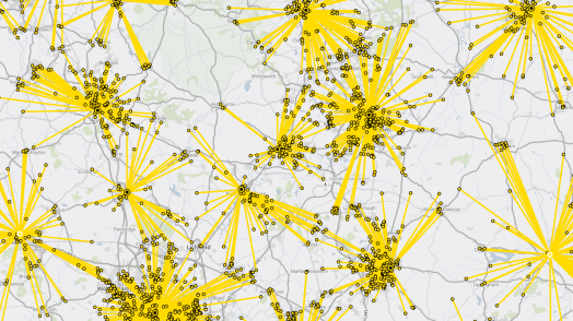
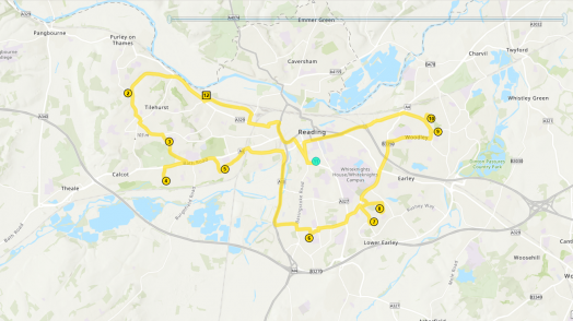
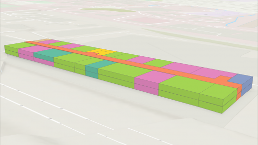
The Vehicle Routing Problem, also known as the Travelling Salesman Problem, is a mathematical problem and set of equations for working out route optimisation. The ArcGIS Pro 2.6 update has brought us the Vehicle Routing geoprocessing tools, ready ...
Read more