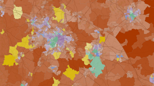
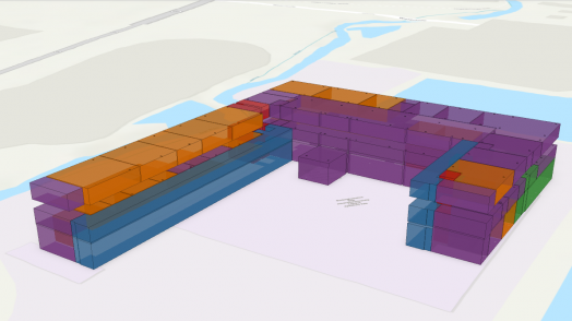
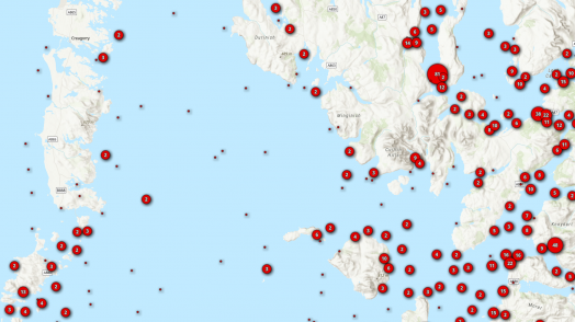
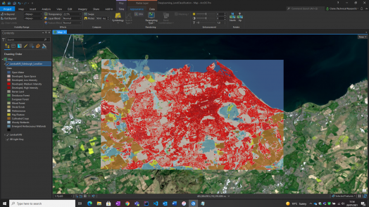
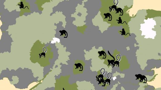
Blog Esri UK Tech Blog CategorySelect3DCartographyContentData ManagementDeveloperMobileProduct NewsSpatial AnalysisTipsTechnologySelectAppsArcadeArcGIS EnterpriseArcGIS Experience BuilderArcGIS Living AtlasArcGIS OnlineArcGIS ProArcGIS StoryMapsDevelopersMobileReport Builder for ArcGISSweet for ArcGISUK ProductsUtility Network EditorSearch Tips A few of my favourite (lesser known) Sweet for ArcGIS things 7th October 2021 Over the years I’ve been waxing lyrical about everything Sweet for ArcGIS can do from topology to auto calculating attributes. For this Sweet Treats blog, I’m going to cover five of my favourite possibly lesser-known capabilities. Builder Preview ... Read more Content What’s new in ArcGIS Living Atlas of the World? 5th October 2021 As the Data Curator for Esri UK, I’m responsible for looking after UK contributions into the ArcGIS Living Atlas of the World. My favourite thing about the ArcGIS Living Atlas is that each map, app and data layer has been … Read more 3D Did you know about attribute editing in Scene Layers? 30th September 2021 Scene Layers are optimised for displaying large amounts of 3D data, including 3D objects, buildings and integrated meshes. Web Scene Layers use a cache to provide the display performance and give a smooth viewing experience. Scene Layers comply wi... Read more Product News An effective ArcGIS Online update 22nd September 2021 The latest update to ArcGIS Online blew in overnight with the windy weather and I immediately got hooked by the new Effects you can apply to your layers. The update also includes a new Chart type, new Instant Apps, enhancements … Read more Spatial Analysis Machine Learning made easy? 16th September 2021 I know what you’re thinking….Machine Learning? Easy?… stay with me. Thanks to the Esri Analytics team, there are now pre-trained deep learning models available in the ArcGIS Living Atlas and the best part is, we can use these with no &hellip... Read more Tips Sweet Treats – Create tailored workflows using Arcade 3rd September 2021 Sweet for ArcGIS is a bit like the Swiss army knife of Web Editing (hang with me here…). You can take it into the wild! Whether you’re online or off-grid, Sweet is designed to take all your complex business logic … Read more Tips Mapping with Accessibility: 8 key hacks to map with confidence 27th August 2021 There has never been a more pertinent time than now to access the internet and records show exponential rates of internet usage during the pandemic. For many, this has been a smooth transition, however, it has revealed more gaps and … Read more Tips Getting started with ArcGIS Experience Builder 19th August 2021 ArcGIS Experience Builder has been floating around as a product for a while now, with its long list of amazing features and the endless possibilities they create. It’s a wonderful product when you wrap your head around it, but perhaps … Read more Cartography Where’s my nearest (and quietest) award-winning beach? 17th August 2021 We all have a favourite beach. Whether it’s because of a special memory, spectacular scenery, or golden dunes, we all have a beach that is close to our hearts… Well, I know I do! With many of us holidaying closer … Read more Cartography Mapping Primate Species : getting the best out of your data 11th August 2021 For decades primate species have roamed around the globe in the wild. In Great Britain, these primate species are known for primarily being found in enclosed spaces such as zoo’s and play an important part in attracting thousands of visitors &hell... Read more Spatial Analysis ArcGIS Insights – ale you need to unlock your data 6th August 2021 I’m sorry about that title, I couldn’t resist the hop-ortunity for a good beer pun. Have you got a large dataset stored in a spreadsheet which contains lots of information, but don’t know where to begin with it? Maybe you … Read more Product News New beta release of Utility Network Editor 2nd August 2021 A new version of the Utility Network Editor has arrived, let’s dive into our new beta. Non-Spatial Features From this beta release, Utility Network Editor allows users to view, create, edit and trace non-spatial features modelled in an ArcGIS Util... Read more Pages: 123456789101112131415161718192021222324Load More