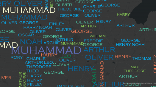
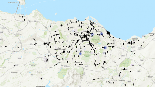
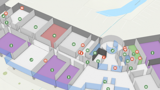
Blog Esri UK Tech Blog CategorySelect3DCartographyContentData ManagementDeveloperMobileProduct NewsSpatial AnalysisTipsTechnologySelectAppsArcadeArcGIS EnterpriseArcGIS Experience BuilderArcGIS Living AtlasArcGIS OnlineArcGIS ProArcGIS StoryMapsDevelopersMobileReport Builder for ArcGISSweet for ArcGISUK ProductsUtility Network EditorSearch Mobile Prepare maps for the field with the ArcGIS Field Maps web app 1st March 2021 ArcGIS Field Maps mobile app combines data collection, map viewing, and location tracking capabilities into a single app. The ArcGIS Field Maps web app was officially released in December 2020. The web app is designed to support the configuration ... Read more Mobile ArcGIS Survey123: Web or Connect? 25th February 2021 ArcGIS Survey123 is a powerful survey creator that enables you to create and share surveys among a wide audience with little more than a URL/QR code. It comes in two flavours: Survey123 Web lets you quickly create surveys with a … Read more 3D 3D for beginners with ArcGIS Pro 18th February 2021 The 3D scenes in ArcGIS Pro can be very helpful when giving a presentation, or when you must explain trends in your data. The problem can be that not everybody has had the time to practice with the 3D tools. … Read more Content Connector for OS Places API 15th February 2021 As previously announced, all Public Sector Geospatial Agreement members have now been given access to the OS APIs. One of these is the OS Places API which allows address searching using AddressBase Premium. We have now released the Connector for ... Read more Developer Introducing ArcGIS Platform – our reimagined developer experience 8th February 2021 Esri recently announced ArcGIS Platform – a platform-as-a-service that brings our industry-leading spatial capabilities into any app or solution. For many developers, this reimagined way of accessing and using the power of geography in their apps ... Read more Cartography Make Apps Beautiful Again! 5th February 2021 Have you recently dived into the world of Web AppBuilder (WAB) and perhaps found yourself a little lost with where to go, which colour to pick and when to stop adding widgets? There’s absolutely no shame in that, we’ve all … Read more Tips Automate with ModelBuilder – a 123 guide 28th January 2021 If you have used ArcGIS Pro then you have probably used the geoprocessing toolbox. However, do you find yourself using the same sequence of tools? Or do you need to share workflows with colleagues? Or better yet, schedule tools to … Read more 3D LiDAR on a phone – a new way to capture 3D data 22nd January 2021 Talk of LiDAR (Light Detection And Ranging) has recently reached the wider media, specifically the mobile tech space. This is due to Apple’s inclusion of a LiDAR scanner in their 2020 flagship mobile – the iPhone 12 Pro. Apple primarily &hel... Read more Content OS APIs for public sector customers 11th January 2021 Under the new Public Sector Geospatial Agreement (PSGA), public sector organisations now have access to premium Ordnance Survey (OS) APIs. Read on to find out more about the new services and where you can find further resources to get you …... Read more Product News A mighty heap of new features in ArcGIS Pro 2.7 21st December 2020 Wow, what a bumper release ArcGIS Pro 2.7 is. I started scrolling through the What’s New list and just kept on going… There are some obvious key additions but there are so many smaller enhancements too. Oh and there are … Read more Product News Phase 1 Habitat Survey now available on the Marketplace 17th December 2020 Back in August I announced new features available on our Phase 1 Habitat app. This release was full of new features, but we didn’t stop there. I’m therefore excited to announce that the next release of the Phase 1 Habitat survey app is available f... Read more Cartography Animating a Pandemic 17th December 2020 Throughout the year, we’ve seen a handful of compelling visualisations that illustrate the true scale of COVID-19 in 2020. Esri UK recently published a data service that allowed Esri users to access UK COVID-19 data via the Living Atlas and &helli... Read more Pages: 1234567891011121314151617181920212223Load More