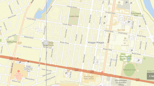
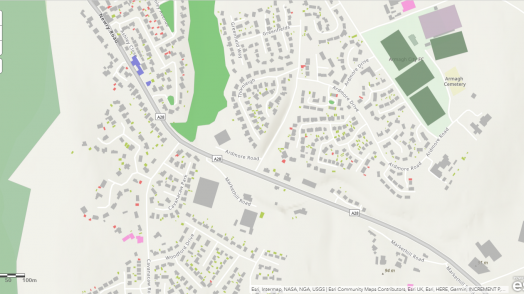
Blog Esri UK Tech Blog CategorySelect3DCartographyContentData ManagementDeveloperMobileProduct NewsSpatial AnalysisTipsTechnologySelectAppsArcadeArcGIS EnterpriseArcGIS Experience BuilderArcGIS Living AtlasArcGIS OnlineArcGIS ProArcGIS StoryMapsDevelopersMobileReport Builder for ArcGISSweet for ArcGISUK ProductsUtility Network EditorSearch Product News New Phase 1 Habitat Survey 20th August 2020 Last year we launched the Phase 1 Habitat app. This template for Sweet for ArcGIS helps to create accurate Phase 1 Habitat Surveys (P1HS) in a web browser. We’ve been working hard behind the scenes and are now excited to … Read more Cartography Watch COVID-19 spread throughout England 6th August 2020 At the time of writing, confirmed cases of COVID-19 in England have surpassed a staggering quarter of a million. There are plenty of maps and dashboards showing the geographical extent of this disease, but I thought I'd try my hand … Read more Product News Take your Utility Network everywhere 4th August 2020 Esri’s ArcGIS Utility Network allows organisations to model their networks with high fidelity - so electric, water, gas assets can be represented as a connected digital twin. The Utility Network is a powerful tool for asset management, as well as ... Read more Product News Exciting new experiences in ArcGIS Enterprise 10.8.1 31st July 2020 The latest update of ArcGIS Enterprise is now available, and this long-term release brings some great new features to the platform. Here are a few examples of the exciting enhancements that have recently arrived since 10.8… Portal Updates One of &... Read more Product News See what’s in the box with ArcGIS Pro 2.6 30th July 2020 ArcGIS Pro has just dropped some amazing new features and I’m going to try my absolute hardest to outline the best ones, without being biased by the beautiful cartography additions and talking about Voxel layers the entire time. So, where &hellip... Read more Developer A Voice User Interface for ArcGIS using REST and Alexa 23rd July 2020 ESRI are continually striving to increase the accessibility of ArcGIS. Now, you might be thinking what is meant by ‘accessibility’? Here, we are concerned with more than just making ArcGIS available over the web. We want our platform to be &hellip... Read more Content How is Esri UK supporting the new Public Sector Geospatial Agreement? 10th July 2020 The Government announced a new 10 year Public Sector Geospatial Agreement (PSGA) with Ordnance Survey in April 2020. The PSGA is a replacement for the Public Sector Mapping Agreement (PSMA) and One Scotland Mapping Agreement (OSMA), but goes beyon... Read more Developer The new Ordnance Survey Data Hub APIs and the JavaScript API 7th July 2020 What is the new OS Data Hub? The Ordnance Survey Data Hub is a new set of services providing access to Britain's most comprehensive geographic data. It is a collection of APIs that provide access to a range of Open … Read more Product News Get started building your own pretty Sweet (for ArcGIS) apps 6th July 2020 My last blog concentrated on why we built Sweet for ArcGIS and what it does, you can check it out here. Since then, we’ve been busy making our Esri UK boxset sessions and getting lined up for our next release. … Read more Cartography How many people can you really fit on a beach? 3rd July 2020 With swarms of crowds heading to the beach, we asked ourselves ‘how many people can you really fit on the beach, at a safe social distance?’ The answer: a lot less than the current crowds! This blog will outline the … Read more Product News ArcGIS Online summer update 1st July 2020 The events of the last few months put ArcGIS Online in the spotlight - not just as the basis for the Esri COVID-19 response package but also as a resilient system for delivering business as usual GIS during lockdown. In … Read more Product News Experience Builder: a new level of app building flexibility 26th June 2020 I enjoy creating visually appealing web applications using ArcGIS Web AppBuilder. However, I sometimes find myself in a situation thinking, ‘oh I need that real-time monitoring feature from ArcGIS Dashboards’ or ‘I wish I could have a 3D map and ... Read more Pages: 1234567891011121314151617181920212223Load More